Precision Farming is Revolutionizing the Way We Grow Crops
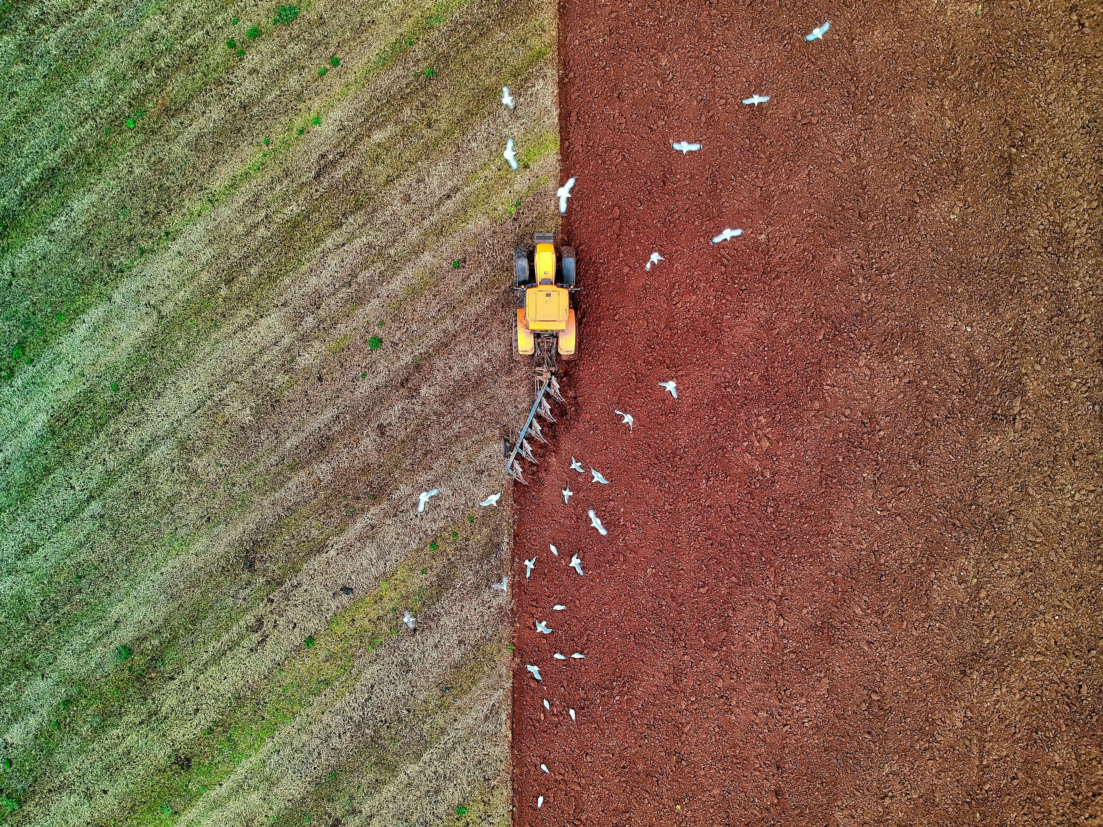
Today, the world is in the beginning stages of a new agricultural revolution that came about with the development of precision farming. Precision farming is a modern technology used by farmers all over the world. In conventional farming practices, large plots of land are treated the same way regardless of the unique features of each zone. But modern technologies such as precision farming and farm mapping allow farmers to take the needs and characteristics of each field into account. This means you can significantly reduce the use of fertilizers, pesticides, and seeds while increasing your crop yields at the same time.
Economic Advantages of New Farming Technologies
The use of modern technology in farming is not just a fleeting fib. In recent years, modern technologies allowed farmers in the USA to save between $11,000 and $39,000 per year. In Finland, Netherlands and many other countries, the average field seeding overlap can be as high as 27 centimeters. By implementing precision farming and farm mapping technologies on your fields, you can improve the efficiency of your farm and gain a competitive edge in the market.
Best Precision Farming Tools
Innovative farming methods utilize a variety of devices and software tools. FieldBee is one of the leading manufacturers of precision farming technology in the world. Our array of products includes:
The RTK GNSS receiver is widely used for field mapping, as the device allows farmers to achieve centimeter accuracy for agricultural procedures. The receiver can be placed on your tractor’s roof and connected to the FieldBee navigation app in just a few seconds. After this, it will continuously receive RTK signals from local NTRIP providers in your area or the FieldBee base station. As a result, you will see a precise map of your fields in the app and be able to make notes and save records of past operations.
Manual guidance RTK GNSS Receivers are excellent tools, but they need to connect to a local NTRIP base to work. If there are no NTRIP services in your area, you can purchase a FieldBee RTK GNSS Base station instead.
All the information collected by the FieldBee RTK receiver is then sent to our app, where it is compiled into a convenient map of each field. In addition to the automatic field mapping, the app allows you to import cadaster documents and field maps, and even manually draw the boundaries of your fields using Google Maps. Farmers can also use the app to navigate and automatically steer tractors even at night, follow specific patterns during agricultural operations, and create and store detailed records of farming procedures for each field.
Field mapping and other precision farming technologies are revolutionizing the world of agriculture by reducing the use of chemicals and seeds and increasing crop yields. Unlike conventional GPS navigators, RTK GNSS receivers allow farmers to carry out agricultural operations with centimeter precision. At the same time, innovative software such as the FieldBee app enables farmers to create detailed field maps, maintain detailed records of farming procedures, and more.


