Everyone who lives in modern society, drives a car, and uses a smartphone has probably heard of GPS receivers and used them numerous times throughout their lives. But what is a GNSS receiver? How does it work? And is it different from GPS receivers? Keep reading this article to find out!
What is a GNSS receiver?
The term GNSS (Global Navigation Satellite System) receiver is used to describe a device or software that receives and processes signals sent by satellites from space. The receiver then uses these signals to calculate its own location in space, velocity, and time. Each GNSS receiver uses the signals from four or more satellites. The receiver has to have an unobstructed line of sight to satellites in the sky to ensure accurate location determination.
GPS vs. GNSS
A GNSS receiver can use signals transmitted by different types of satellites that make up the Global Navigation Satellite System. This includes GLONASS (Russia), GPS (USA), Galileo (Europe), and BeiDou (China) satellites. So the term GPS refers to just one set of satellites, while GNSS refers to all satellites used for positioning.
GNSS receiver applications
GNSS receivers have a wide variety of applications. While they were first developed in the 20th century for military use, today they are widely available to the general public. In fact, each modern smartphone has a built-in receiver. Here are some areas in which GNSS receivers are used:
-
- Automobile navigation using receivers built into vehicles.
- Airplane navigation for gliders and general-purpose aircraft of all sizes.
- Maritime navigation on ships and boats.
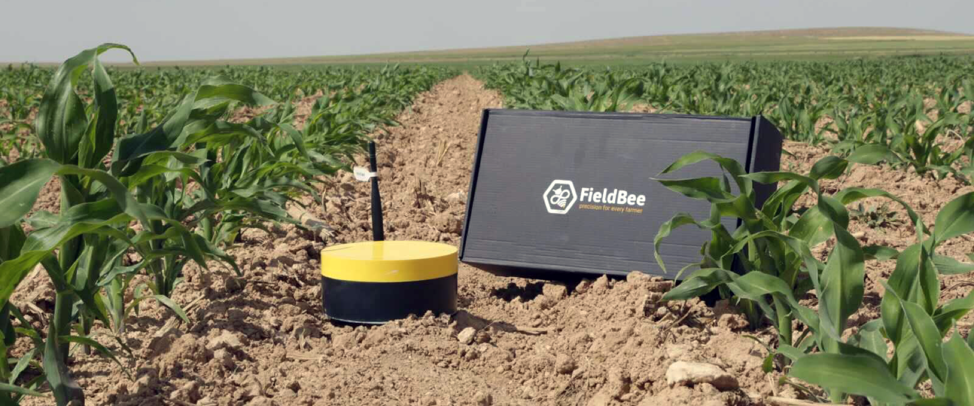
- Precision agriculture techniques use GNSS receivers to enable automatic steering of tractors and other agricultural machinery. For example, a FieldBee autosteer system uses GNSS and RTK signals to automatically guide a tractor on a field, allowing farmers to achieve up to 1-centimeter precision when carrying out different agriculture procedures.
- Mining and construction machinery may also be controlled automatically using satellite guidance systems.
- Surveying, archeology, geology, and related fields require high-precision location positioning which can be provided by GNSS receivers.
- Mapping and satellite imagery are significantly simplified by the use of GNSS receivers.
Final thoughts
Today, precise location positioning provided by GNSS receivers is widely used by regular people in their daily lives, military personnel, and professionals who carry out agricultural procedures, mining operations, navigate aircraft, conduct surveying, and more.


