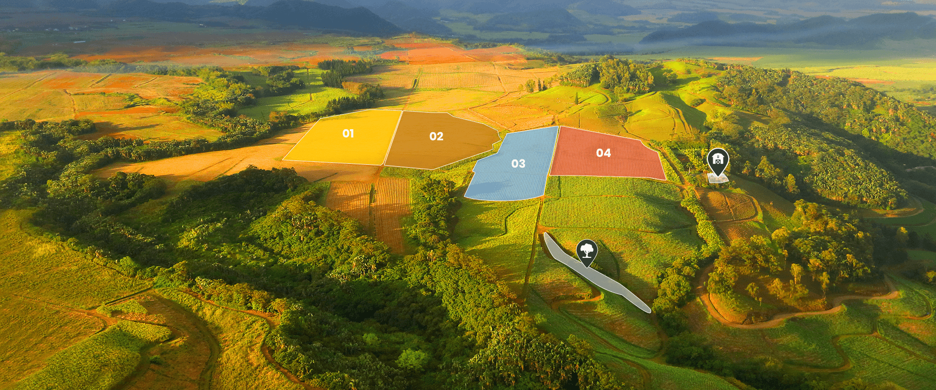
Farm mapping helps farmers create a clear, digital layout of their land. It shows field boundaries, crop zones, buildings, fences, water lines, and more – all in one place.
You can mark what’s been planted where, track completed tasks, and plan future operations with more precision. It’s a simple way to stay organised, avoid mistakes, and manage every hectare more effectively.
Types of Farm Mapping Technologies
Different farms need different tools – and the right mapping technology depends on your goals, budget, and farm size. Crop types, data accuracy needs, and your level of digital adoption also play a big role in choosing the best solution.
|
Technologies for farm mapping |
|
|
Type |
How It Helps Farmers |
|
Farm mapping software |
Apps and software help farmers create digital field maps, mark boundaries, and record crop zones. You can track field activities like planting, spraying, or fertilising, and view task history for each plot. A tractor GPS guidance app like FieldBee makes it easier to plan routes, manage operations, and keep all your precision farming data in one place. |
|
Agricultural drones |
Drones use high-resolution cameras and sensors to capture real-time images of your fields. They help detect crop stress, pests, or diseases early. By flying over large areas quickly, drones provide detailed maps that support better crop care and smarter decisions. |
|
Satellite imagery |
Satellites scan fields regularly, collecting visible and infrared data. They’re great for tracking crop development, spotting dry or stressed zones, and monitoring seasonal changes. It’s a cost-effective way to observe large farms over time. |
|
Ground robots (field platforms) |
These mobile units move through fields on their own, using sensors to measure crop growth, biomass, soil moisture, and plant health. Robots work well in tough conditions and generate accurate 3D field maps for better planning and zoning. |
|
Weather stations |
Installed on-site, these stations monitor temperature, rainfall, wind, and solar radiation. This data helps adjust irrigation, spraying, and fertiliser timing based on real microclimate conditions in each part of the field. |
|
Humidity sensors |
Buried in different zones of the field, these sensors send real-time updates on soil moisture levels. This helps farmers apply water only where and when it’s needed – preventing overwatering and reducing stress on crops. |
|
Soil monitoring systems |
These tools test the chemical and physical properties of your soil – like pH, nutrients, and organic matter. Farmers use this data to divide the field into zones and apply seeds, water, or fertiliser more precisely for better results. |
|
Crop yield monitoring systems |
Installed on harvesters, these systems measure moisture and yield as crops are harvested. They show which areas performed best, helping you adjust practices and make smarter planting decisions for next season. |
What Agricultural Operations Can Be Displayed on Maps?
Recording fieldwork on digital maps gives farmers a clear picture of everything happening on the farm. It helps organise data, improve planning, and make better decisions to boost yields and cut waste. Here are the key operations you can track:
-
sowing. Log the seeding date, crop variety, and seeding rate. This helps analyse the effect of planting dates and density on yield, and supports smart crop rotation planning;
-
fertilisation. Record where and how much fertiliser was applied – mineral or organic. This improves nutrient accuracy, supports variable-rate application, and reduces environmental risks;
-
soil cultivation. Track tillage type and depth, such as ploughing or cultivation. It helps assess the impact on soil structure, moisture levels, and crop development;
-
irrigation. Display zones, frequency, and volume of water use. This ensures better control of the water regime and helps optimise irrigation based on field needs;
-
crop protection treatments. Map the use of herbicides, insecticides, or fungicides. It supports proper dosing, compliance with regulations, and analysis of treatment effectiveness;
-
harvesting. Track harvest routes, dates, and data like crop weight and moisture. This information forms the basis for yield maps and post-season analysis;
-
mechanical weed control. Record where and when physical weeding was done. This supports future planning and helps reduce reliance on chemical treatments.
Recording this data on digital maps gives farmers full visibility of what happens in each part of the field. It helps reduce waste, improve traceability, and fine-tune operations season after season. With all activities documented in one place, farm decisions become faster, smarter, and more data-driven.
What Obstacles Can Be Displayed on Maps?
Precision farming apps like FieldBee let farmers mark permanent and temporary obstacles that could interfere with equipment movement or reduce fieldwork efficiency. These may include:
-
trees and bushes;
-
power lines and poles;
-
rocks and boulders;
-
ditches, canals and wells;
-
old buildings or ruins;
-
water bodies;
-
shrubs, fences, or other man-made structures.
Mapping obstacles helps plan safer, more efficient equipment routes. It also improves autopilot accuracy and ensures you avoid non-working zones during seeding, spraying, or irrigation – saving time and reducing waste.
What Problems Does Mapping via the FieldBee Tractor GPS App Solve?
FieldBee’s mapping tools help farmers overcome key challenges in crop production by turning field data into clear, actionable insights. Here’s how mapping helps solve real problems:
-
uneven crop yields. Digital maps help identify low-yield areas and uncover the reasons – poor soil, drainage issues, disease, or nutrient deficiency. This lets farmers apply targeted solutions and improve results zone by zone;
-
overuse of seed, fertiliser, or chemicals. Without accurate field maps, it’s easy to apply too much or overlap. Mapping helps set precise application zones and rates – cutting waste, saving costs, and reducing environmental impact;
-
no clear record of field operations. Manual logs often lead to errors or missing data. With digital mapping, you can track everything – from sowing and spraying to irrigation and harvesting – across every season;
-
inaccurate fieldwork. Without GPS guidance, machines can miss areas or double back unnecessarily. Mapping shows exactly where work has been done, helping reduce overlaps and equipment wear;
-
struggling with regulations and reporting. For farms needing certification or selling abroad, keeping accurate records is essential. FieldBee maps support easy reporting, traceability, and compliance with agronomic standards.
Also, when managing a farm, it’s important to understand how different factors – like weather, soil, or crop treatments – affect the result. Mapping brings all the data together into one system, helping farmers compare fields, evaluate techniques, and adjust strategies for better outcomes.
How to Work with Maps Using the FieldBee App
Creating and editing field maps in the FieldBee App is simple – whether you're starting from scratch or working with existing data. The app is built for both new and experienced users. You can:
-
draw field boundaries manually. Use satellite imagery to mark key points along the plot perimeter directly on your phone or tablet. Perfect when you don’t have ready-made files or need to make quick edits in the field;
-
import existing maps. Upload field data in .SHP format from other platforms or GIS tools. This saves time and ensures consistency across your farm systems;
-
add cadastral documents. Include official land records for more accurate mapping and clear plot identification.
Once your digital map is ready, you can use it for equipment navigation, planning operations, and analysing field performance – all in one place.


